 After breakfast we packed our gear into the car & set off back to Calgary. We stopped for a photo opportunity at Cameron Falls (below) on the edge of town.
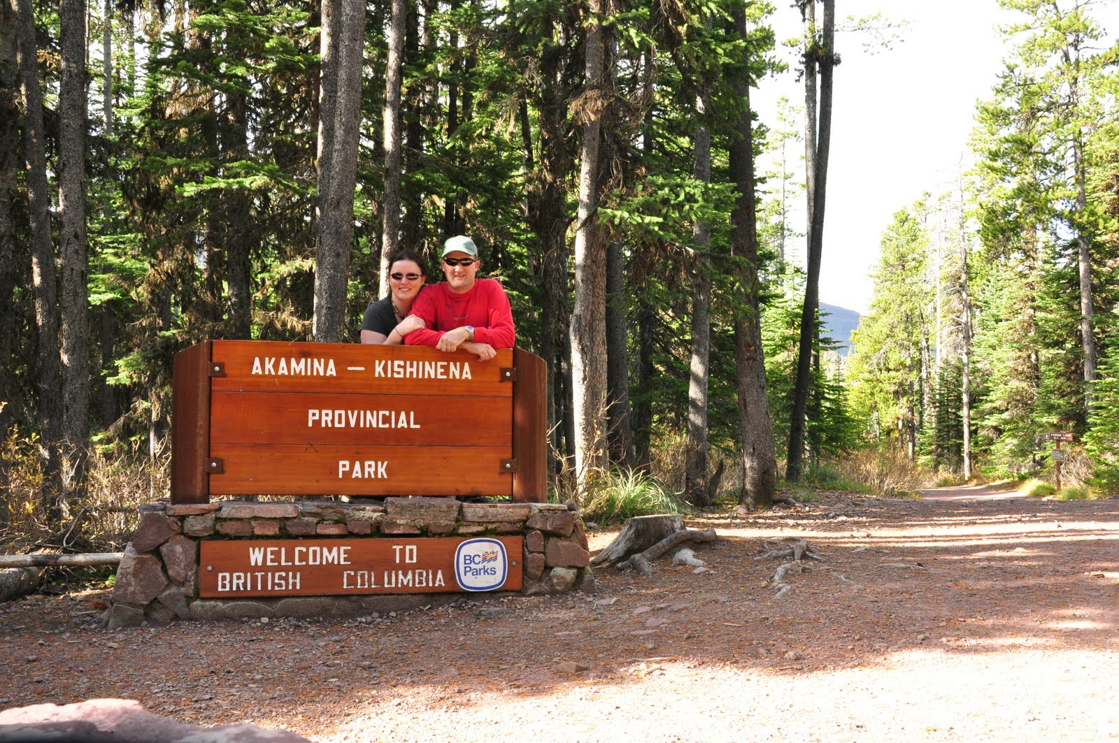
 We stopped once more at the edge of the upper lake (above) before one last drive along the Akamina Parkway. The animals were already hiding in the forest, but finally Cameron Lake (below) was in the mood for being photographed. The cloudless, windless day was identical to the wonderful weather from the day before.
 Sadly we left the park but not before a lap around the bison paddock. Parks Canada maintains a small herd at Waterton for the benefit of visitors. These guys look like passive grazers, but I assure you they are way more bad tempered than your garden variety moo cows.
 We took a different route back to Calgary to the east along Hwy 2. A 15 km divert bought us to the world heritage site, Head-Smashed-in Buffalo Jump.
 It's a slightly disturbing (if your an animal person like me) but very interesting site that has an interpretive centre that helps you to understand how the native people used to hunt these creatures on mass.
 The actual jump site (above & below) doesn't look like much as but erosion has filled in the valley a little. The cliff is still high enough to kill bison. Thankfully he practice stopped long ago.
Just when we thought we would have a peaceful evening relaxing at Shane's, we were ambushed by some of the work clan who wanted to catch up for a beer. Quite a few of them couldn't make it for drinks the previous weekend. Who am I to be a party pooper?

 On the upside the cloud had cleared & the wind non-existent. Looking along the parkway Mt Anderson (below) was lit up with the morning light.
 The boat carried nine hikers (including us) & a large number of people who were just cruising the lake for the morning. They would end up at the far end of the lake & step onto US soil at the border post. We had cruised the lake before with our friends Jim & Sandra in their boat just before we left Canada just on 2 years previous.


 The trail continued up the valley through the forest occasionally crossing side valleys & little waterways (below). The sky was still so clear & blue & didn't change the rest of the day! The disappointment the day before with the boat not running was all forgotten. Things sometimes happen for a good reason & the day was spectacular.

 Closer to Burnt Rock Falls, the trail started a series of steep switchbacks across loose scree. It was the start of a couple of kilometres of tough hiking. The Crypt Lake Trail is a challenge not so much because of the distance, but more for the elevation gain & the tricky sections at the end. The majority of the elevation gain is done in the last 3 kms between Burnt Rock Falls & the lake.
  From the top of Burnt Rock Falls we could see both the valley we'd hiked up (above) & the Crypt Falls (below). Our destination (Crypt Lake) sits in the basin behind Crypt Falls. At the end of the switchbacks the last section has a tunnel & a ledge that can be seen to the left of Crypt Falls if you know what to look for (far left of picture).
 To enter the tunnel you have to climb a short (but skewed) metal ladder bolted to the rocks (below).


 There's a side trail that lets you look over the edge at Crypt Falls but the main trail heads over the rim of the cirque lake basin to Crypt Lake (below). After three & a half hours, we'd made it! The lake was gorgeous & the photos just don't tell the story.


 I was hoping to catch a dawn photo of Cameron Lake in the process. The morning was a bit overcast & very windy. We didn't see any animals on the way to Cameron Lake, but took a nice photo of Mt Rowe (above) lit up with the early morning sun.


 An added bonus was that there were a couple of Mountain Goats (above & below) on the cliffs above the lake. They were a long way off, but they were definitely goats.


